American Red CrossGIS Primer
Field Guide

South Carolina / Community Mobilization

People.
Places.
Possibilities.

GIS For Volunteer Engagement

Begin The Conversation
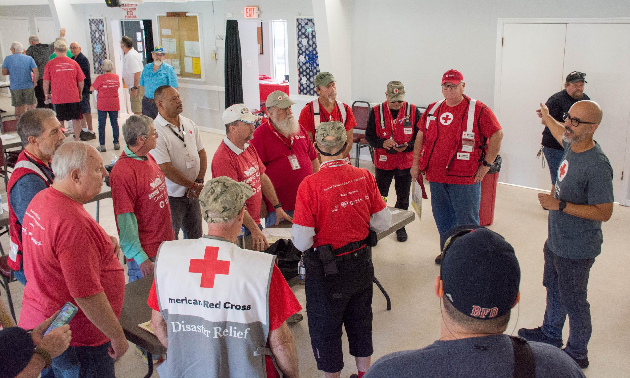
Red Cross volunteers gathered for a briefing
People At The Center Of The Work

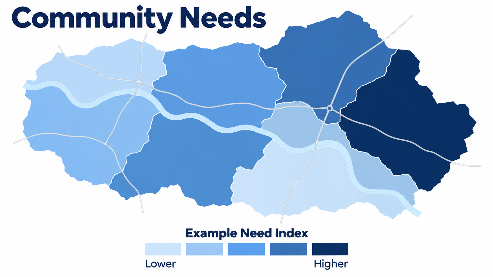
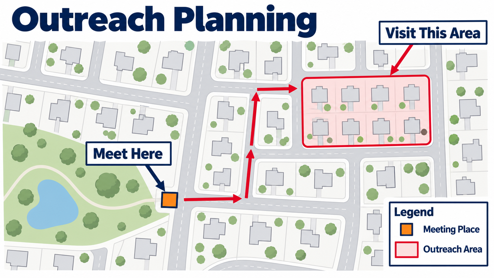
A First Look / Three Examples

What Can A Map Show?
Our Hour Together

A Question.
A Map.
A Next Step.

11:00Welcome & Sample Maps
11:10Layers, Symbols & Filters
11:25Volunteer Map Walkthrough
11:40Community Mobilization Demo
11:50Questions & Next Steps

A Smaller, Clearer View

Only The Group
You Need To See

1. Choose A Group
Watch the other symbols disappear.

2. Read The Count
18 Illustrative Records Shown

3. Reset
Show all groups before the next question.

Illustrative Locations Only · No Real Volunteers · Not To Scale

Live Walkthrough · 11:25

Your Chapter View

Click Slowly. Pause. Explain What Changed.

  1. Locate Your Chapter
  2. Expand Volunteers
  3. Read The Legend
  4. Inspect One Approved Record
  5. Apply One Available Filter
  6. Clear It And Compare
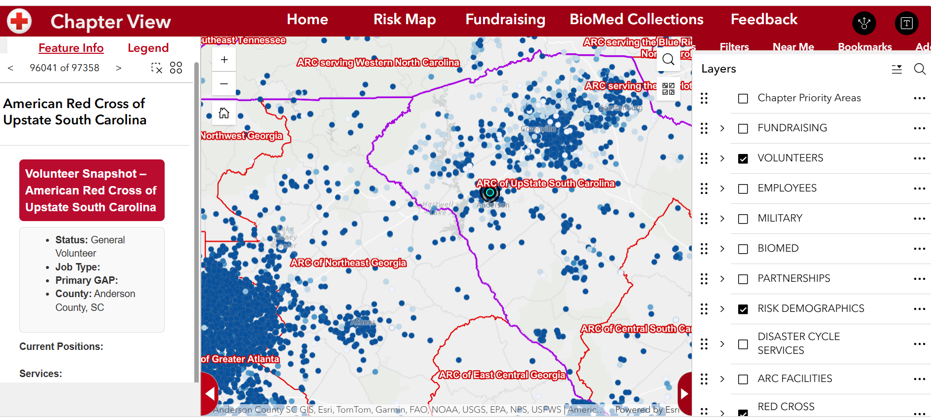
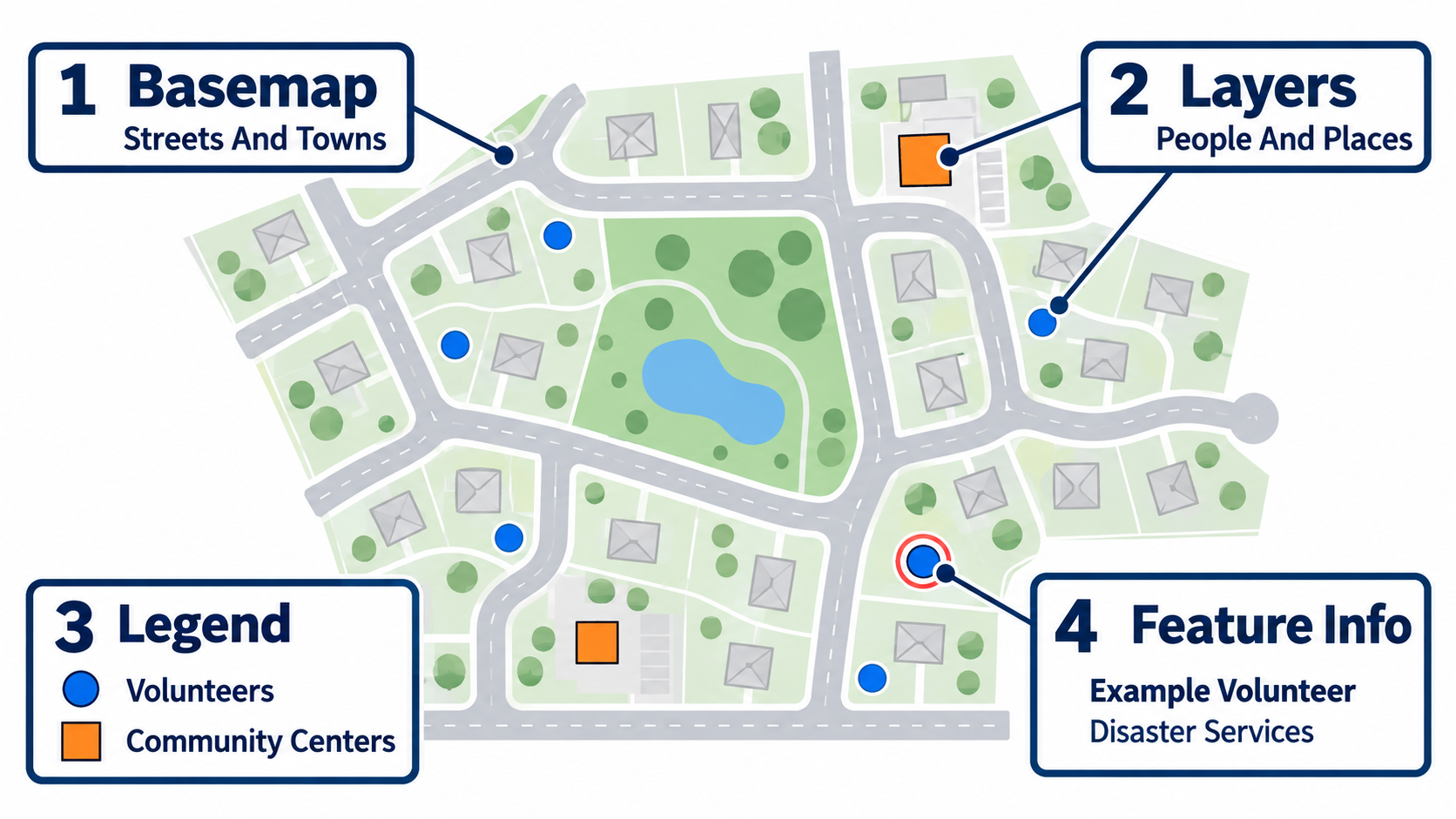
Chapter View screenshot for Upstate South Carolina, showing the volunteer map, Feature Info and Legend on the left, and the Layers list on the right.
Your Chapter View · Supplied Screenshot

Use the team's approved map in a signed-in browser.

Open Chapter View

From Maps To Everyday Work

A Different App.
A Specific Question.

App 1 / Understand Your Service Area

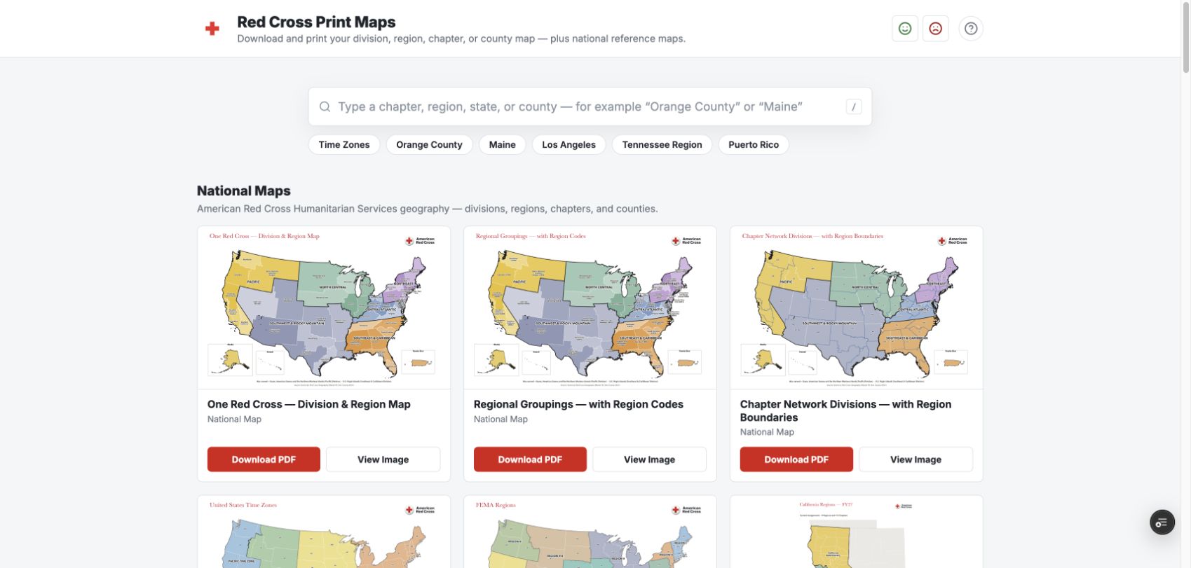
Chapter Reports

  1. Choose South Carolina
  2. Choose Your Chapter
  3. Open One Report
Open Chapter Reports

Open The App · Demo · Return Here

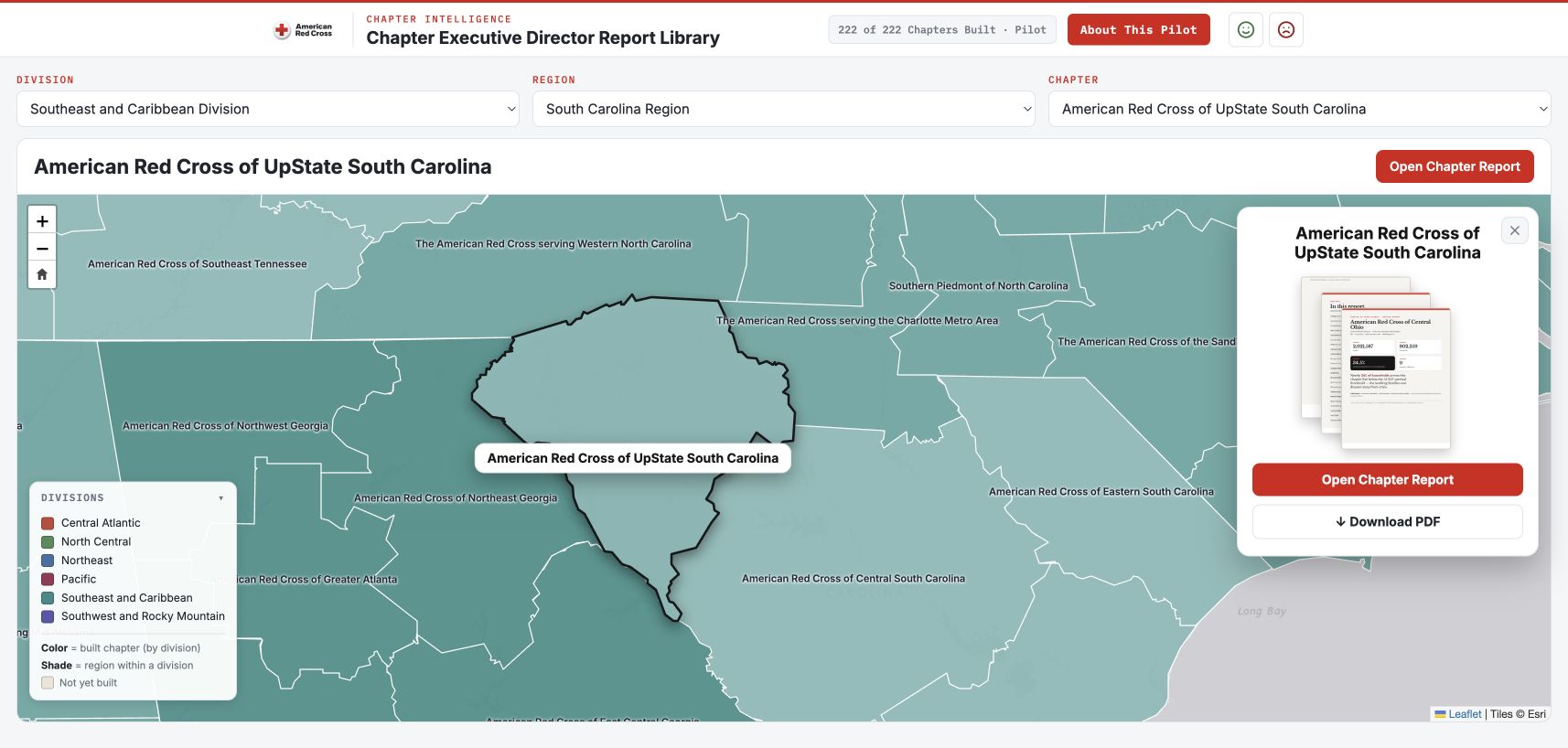
Chapter Report Library · Upstate South Carolina
Chapter Report Library · Upstate South Carolina · Captured September 14, 2026

App 2 / Learn About A Community

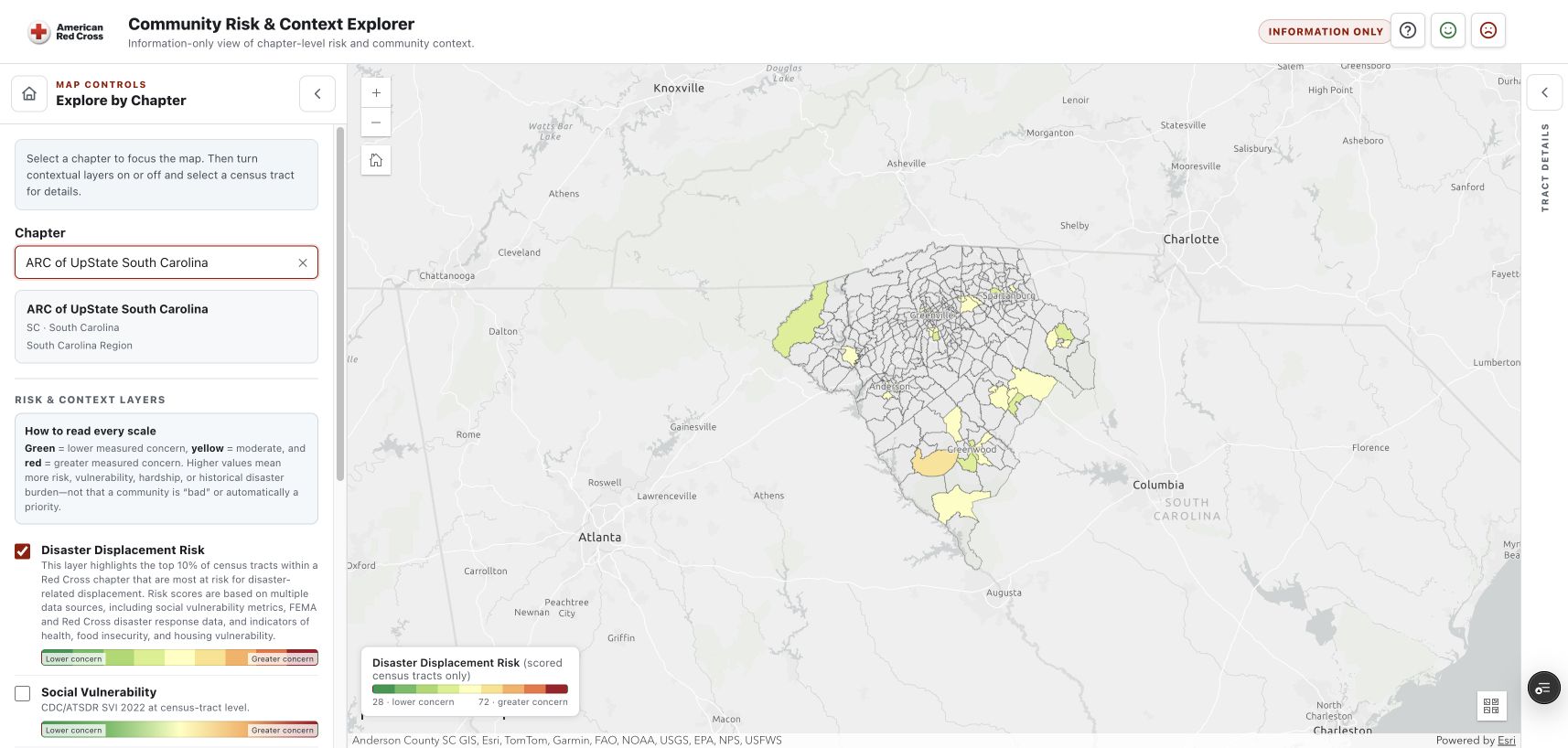
Community Risk & Context

  1. Choose Your Chapter
  2. Turn On One Layer
  3. Click An Area
Open Community Risk & Context Explorer

Open The App · Demo · Return Here

Community Context Explorer · Upstate South Carolina
Community Context Explorer · Upstate South Carolina · Captured September 14, 2026

App 4 / Explore Prevention Context

Home Fire & Emergency Information

  1. Sign In With Red Cross
  2. Choose Your Area
  3. Explore Available Information
Open Emergency Information Dashboard

Open The App · Demo · Return Here

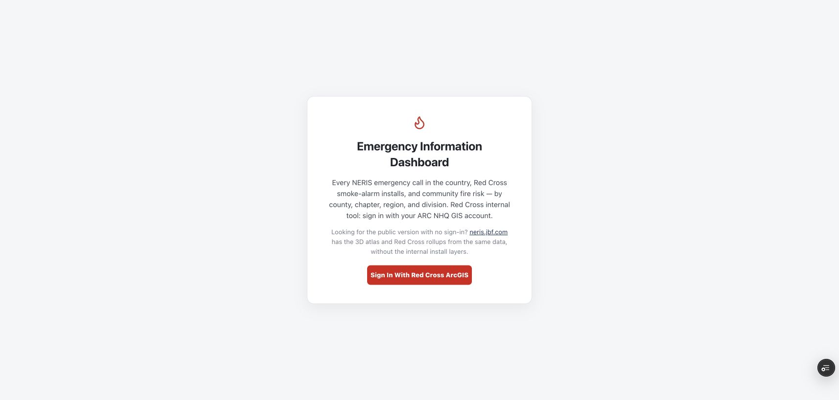
Actual Sign-In Screen · Red Cross Access Required
Actual Sign-In Screen · Red Cross Access Required · Captured September 14, 2026

Getting Started

Access That Fits
The Work

Explore A Shared Map

Organization Sign-In
Access To The Map And Layers

Create Or Change A Map

Suitable User Type
Authoring Privileges And Approval

Read The Access Steps

Questions · 11:50

What Would You
Try First?

Presentation And Follow-Up: gisprimer.jbf.com

Send Feedback

Your Red Cross sign-in may be required.